
Burbank Neighbor Block Sources
The public view of a Burbank block is mostly about land, boundaries, and public actions. CookViewer shows parcel shapes and nearby property characteristics. Assessor and tax systems show ownership and mailing fields. Burbank's ward map supplies municipal geography, while a focused city records request may retrieve a permit or code file tied to a defined address. No verified public HOA, block-club, or resident membership directory was found.
| Source | What It Shows About a Block | Access |
|---|---|---|
| CookViewer parcel map | Parcel geometry, PINs, imagery, districts, and property filters | Public viewer; nearby radius is at most one mile |
| Assessor and Property Tax Portal | Owner or taxpayer, situs and mailing address, class, values, and tax history | Public property data; occupancy is not conclusive |
| Burbank ward map | Official city ward geography around the block | Public map; verify its effective date |
| Illinois voter tools | One voter's self-match or a controlled district list | Not a public browse-all block roster |
| City FOIA and Building Department | Defined permits, inspections, zoning, or code actions | Narrow request by address and date |
| Prairie Trails and regional archives | Dated directories, newspapers, census, maps, and yearbooks | Historical collection access varies |
An owner name proves a public interest in the parcel on the record date. It does not establish every occupant, and a tax mailing address may point elsewhere. A voter self-match confirms only the person who supplies the required identifiers. Use these systems to understand a block's public facts, not to infer a hidden household.
CookViewer Maps Burbank Neighbors
CookViewer accepts a parcel PIN, parcel address, ordinary address, or street intersection. Select a result, then click the parcel polygon to open its details. Confirm municipality, township, parcel outline, and the address point before treating it as the seed property. The address search may return properties within roughly 100 feet, so the PIN and polygon matter.
Property Details can show location, zoning, tax context, assessed value, building traits, imagery, and district information. District layers may identify schools, parks, libraries, county districts, and other tax bodies. These layers explain which public body serves the block. They do not name all Burbank neighbors.
Open the CookViewer parcel source.
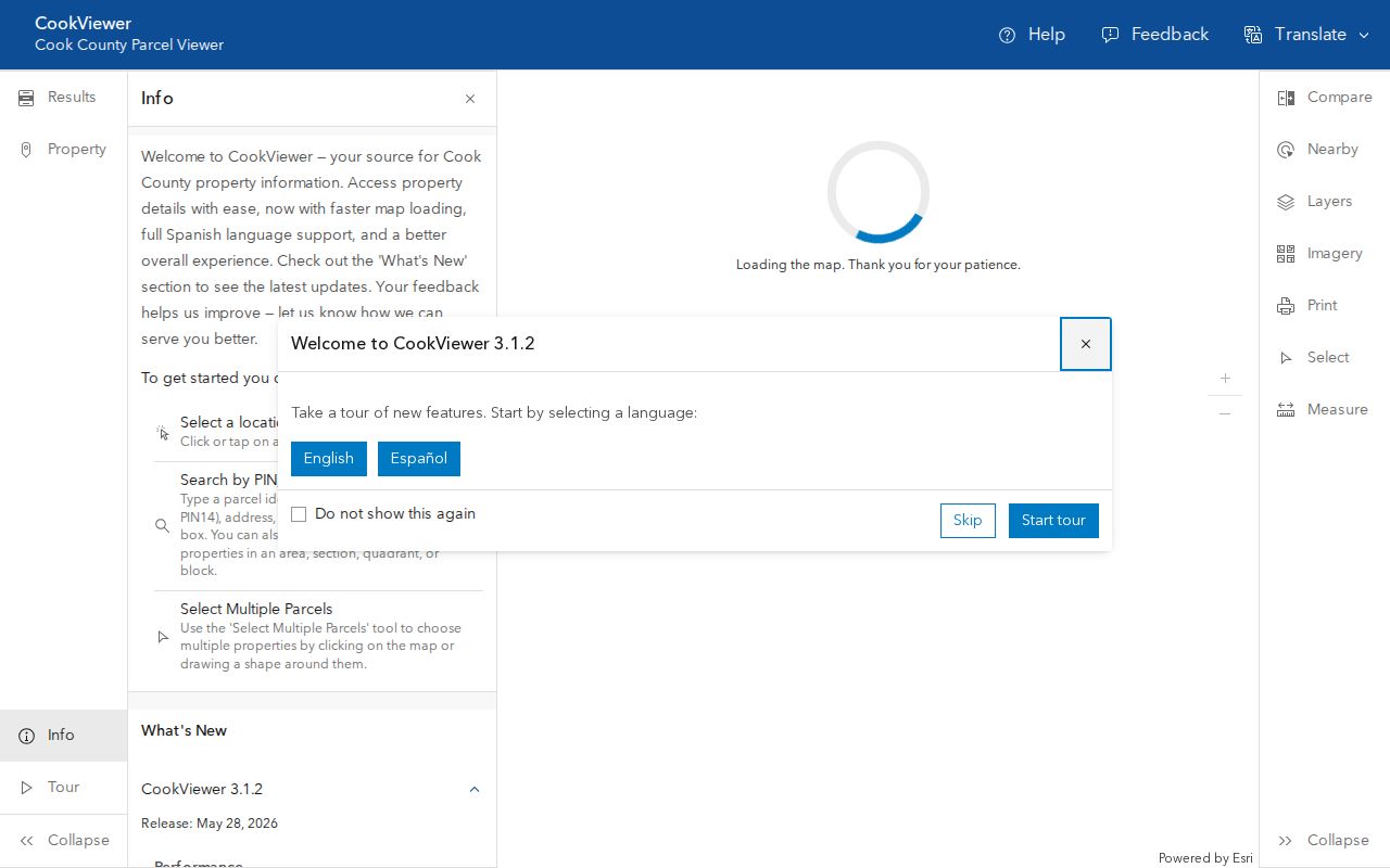
The image shows the correct official map entry point. Date-stamp any export because parcel data and interface releases change.
Map a Burbank Neighbor Block
The most precise neighbor view starts with parcels that touch or face the known lot. A wide radius can bring in unrelated properties across major roads or municipal lines. Walk the map first, then use CookViewer's Nearby tool only when a broader property comparison is useful.
- Find the seed address or PIN in CookViewer. Confirm Burbank, the township, parcel outline, and address-point position.
- Click each parcel that touches or faces the seed lot. Save the PIN and note whether the parcel is across an alley, side street, or municipal boundary.
- Open each PIN in the Assessor or Property Tax Portal. Compare situs address, owner or taxpayer, tax mailing address, class, and dated exemptions.
- If using Nearby, record the source PIN, radius, building or land filters, map layer, and export date. The tool permits no more than a one-mile radius.
- Describe the result as parcel data. Do not convert owner, mailing, or exemption fields into claims about current occupants.
For a whole named road rather than the immediate block, use the Burbank street directory workflow. It follows address-keyed records along the street instead of expanding a radius around one lot.
Note: CookViewer describes historical parcel archives from 2000 onward, but its map lines are not a legal boundary survey.
Burbank Nearby Parcel Filters
CookViewer's Nearby tool is built for comparing property traits, not identifying a household. After selecting a source parcel, the interface can filter building and land square footage, construction type, building age, units, and distance. Radius choices include small fractions of a mile through one mile. For literal next-door lots, the map's parcel edges are clearer than a filtered circle.
The current viewer reports a May 2026 release, following 2025 updates. Release notes describe improved performance, parcel symbols, measurement, PDF exports, and mobile use. Treat those dates as portal-change signals. Recheck the live controls before publishing or repeating an exact filter label.
Property, not people. A nearby export compares parcels and buildings. It does not establish which Burbank neighbors occupy those properties.
Burbank Neighbor District Layers
A block belongs to several geographies at once. The Burbank ward map shows city representation. CookViewer adds county, school, library, park, and tax districts. Cook GIS separates address points from ZIP polygons. Ward, precinct, township, district, and ZIP lines answer different questions and should never be treated as interchangeable.
View the official Burbank ward-map source.
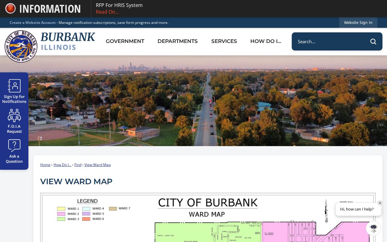
The ward map gives civic context without revealing private household details. Save its date when recording a block's ward.
Burbank borders Chicago, Oak Lawn, Bridgeview, and Bedford Park. A nearby parcel can be physically close yet belong to another municipality. Preserve city, township, county, ward, and postal ZIP as separate fields.
Burbank Neighbors and Voter Data
The Illinois voter self-lookup is designed for one voter to confirm registration with personal identifiers. It is not a public block browser. Cook County provides controlled district lists only through a written process for eligible political organizations, with certifications and restricted fields.
Illinois law redacts sensitive voter-list data, including telephone numbers, Social Security numbers, home street numbers, birth dates, and identifiable portions of email addresses. Participants in the Illinois Attorney General Address Confidentiality Program receive added voter-list protection. An absent name cannot prove that a person is unregistered, moved, or lives elsewhere.
Burbank Community Contacts
No verified public roster for Burbank neighborhood associations, HOAs, block clubs, congregations, or watch groups was located. Public agencies still offer useful community contacts. They can answer service and civic questions without exposing a private membership list.
Prairie Trails Library
8449 Moody Avenue
Burbank, IL 60459
708-430-3688
Burbank Park District
Community programs and park information are public. No resident membership directory was verified.
Burbank Police
708-924-7300
The house-watch service is a safety contact, not a list of participating homes.
See the Burbank Park District community source.
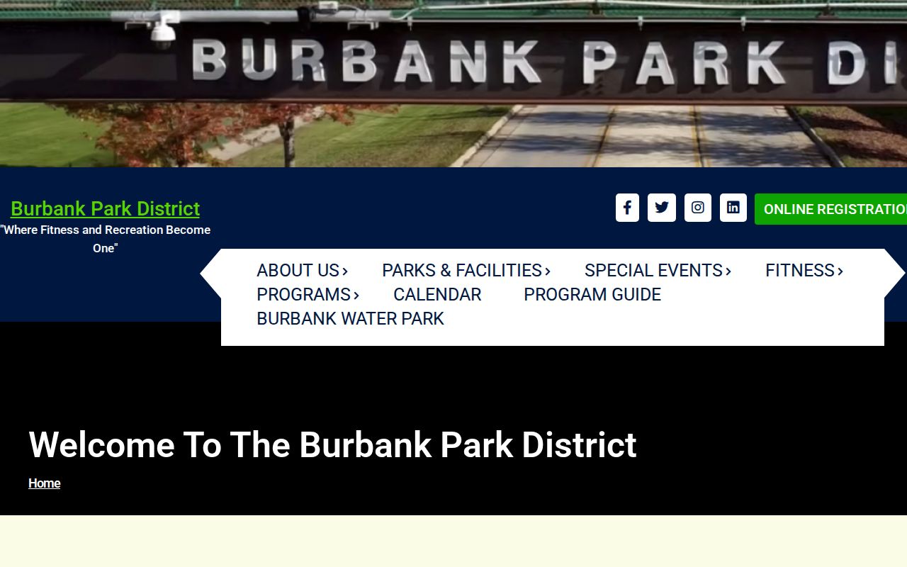
The District is a public community layer. Its program pages should not be mistaken for a directory of Burbank neighbors.
Review the official Burbank Police neighborhood-safety source.
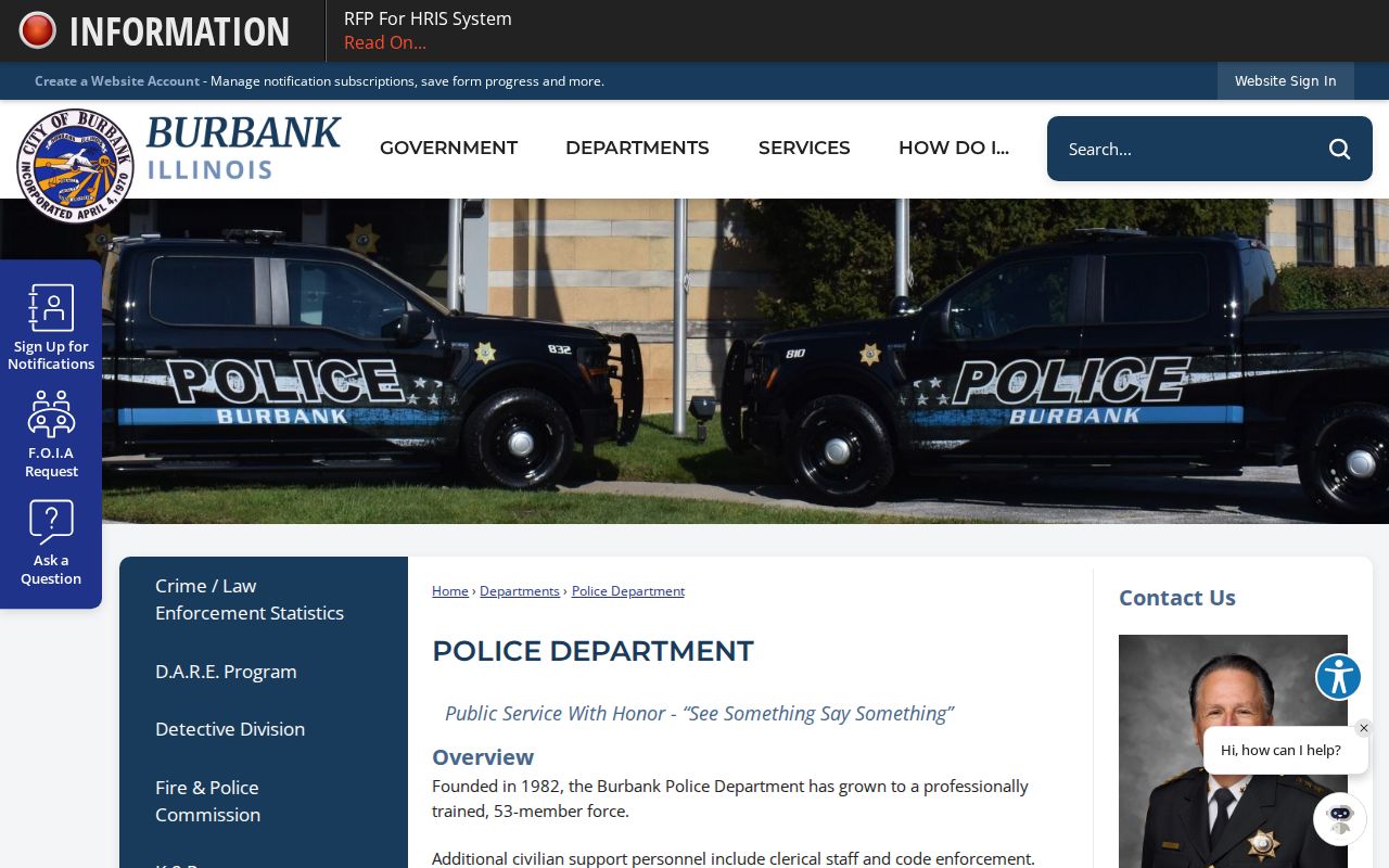
The house-watch route is useful to residents who will be away, but the City does not publish the homes enrolled in it.
Burbank Neighbor Source Comparison
Official systems and commercial neighbor tools serve different purposes. County and city sources identify the custodian, field definitions, and record date. Commercial services may combine property facts with inferred ties or old marketing data, often without making the source or update date clear.
| Question | Official public source | Commercial category |
|---|---|---|
| Where is the parcel? | PIN, polygon, municipality, and dated map layer | Address may be normalized without parcel proof |
| Who owns it? | Named owner or taxpayer with source date | May repeat stale or inferred names |
| Who lives there? | No complete public Burbank household roster | May present guesses as associations |
| How is it corrected? | Named Assessor, Clerk, GIS, or city custodian | Service-specific process does not fix the official record |
Use official parcel and city sources for civic facts. If a commercial entry is wrong, its privacy process may change only that service's display, not the Cook County or Burbank record beneath it.
Burbank Neighbor Privacy Limits
Renters, family members, utility customers, school enrollment, delivery data, and private rosters are not public substitutes for a resident list. The federal Driver's Privacy Protection Act also limits access to personal data in motor-vehicle records. Do not use private or restricted systems to fill a gap left by public parcel records.
Lawful use. Research Burbank neighbors for civic awareness, reconnecting, or personal safety. Never watch, harass, intimidate, or expose a protected person.
Illinois' Address Confidentiality Program supplies eligible survivors with a substitute address for new state and local records. The Attorney General warns that old public files cannot simply be erased and property confidentiality cannot be guaranteed. A missing or substitute address is a firm stopping point, not an invitation to search around the safeguard.